

Just come across a blog, described as ”part art project, part labour of love, part experiment, part mission to highlight how shit our roads are” the pothole gardener wants to brighten up a few peoples lives momentarily, and creating mini-gardens in potholes is my means. He does this by planting out potholes, well if you can’t get rid of potholes, why not?
Monthly Archives: September 2020
Protected: Of Alley off Strand

London in Quotations: T. S. Eliot

I journeyed to London, to the timekept City, / Where the River flows, with foreign flotations. / There I was told: we have too many churches, / And too few chop-houses.

T. S. Eliot (1888-1965), The Rock
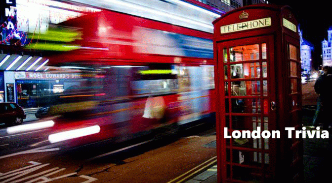
London Trivia: Europe’s first travelator
On 27 September 1960 Europe’s first travelator was ceremonially opened. Bank Station, which had been in service since late Victorian times had only one exit down a sloping corridor. By the 1930s the increased passenger volumes had made its use impractical. The war and post-war austerity had stopped the project, finally construction began in 1957 taking three years for completion.
 On 27 September 1968 the musical Hair, containing nudity and drug-taking, opened after the abolition of theatre censorship, ending the Lord Chamberlain’s powers of censorship dating back to 1737
 In 1736 gravedigger Thomas Jenkins received 100 lashes for selling dead bodies from St Dunstan & All Saints, Stepney High Street
 There are still 1,600 operating gas lamps in London examples are found in the charming Goodwin’s Court, Covent Garden
 During the Great Fire of London in 1666, charred leaves of burning books were blown as far as Acton, an astonishing 20 miles distant
 On 27 September 1940 during the Blitz, an astonishing 117,000 people slept sheltering in the Underground, authorities had tried to ban the public at night from the stations
 First crafted in 1951, James Bond’s aftershave was Floris No. 89 – so-named because Floris’s shop is at 89 Jermyn Street, Mayfair
 As a bet, Lord Lyttleton slept in the attic of 50 Berkeley Square in 1872, with his shotgun, he apparently fired his gun at several apparitions throughout the night
 London has more functioning public baths and indoor pools that date from prior to 1939 than any city in the world – 18 public; and 5 private
![]() The Victoria Line that runs between Brixton and Walthamstow Central, and is coloured light blue on the Tube map, is one of only two lines on the Underground that is completely underground
The Victoria Line that runs between Brixton and Walthamstow Central, and is coloured light blue on the Tube map, is one of only two lines on the Underground that is completely underground
 On Albert Bridge, a sign asks soldiers to break step as synchronised marching caused too much vibration! Wags change the sign to ‘break wind’
 Gas street lights widely used in 1850 each with a luminousity of a 25 watt bulb, but by the 1930s only half of London’s streets had electric
![]() Trivial Matter: London in 140 characters is taken from the daily Twitter feed @cabbieblog.
Trivial Matter: London in 140 characters is taken from the daily Twitter feed @cabbieblog.
A guide to the symbols used here and source material can be found on the Trivial Matter page.

The Greenground
After Tuesday’s post, today with a new more gentle tenor CabbieBlog explores a Tube map of parks and how to get between them.
Living on the north-east margins of London with Havering Country Park’s 165 acres a mere 5-minute stroll away the countryside isn’t far away.
The park has an avenue of Wellingtonia trees, dating to when the Havering manor was still present, and are the second largest plantation in the country. It also is on the route of the London Outer Orbital Path, or London LOOP, with sections 20-24 linking the many green spaces on my doorstep.
Given that I was delighted to find a ‘tube map’ showing the parks of London, joined together in ways you might want to walk.
Graphic designer Helen Ilus has designed a verdant version of Harry Beck’s classic Tube map.
The ‘Greenground’ contains eight themed lines: the Thames, Crane, Wandle, Regent (as in the canal), Royal, South, City and North. Places, where you might like to swim, kayak or just walk, are marked.
The map has around 300 parks and open spaces that are remarkably only 10 per cent of the 3,000 parks and green spaces to be found in London.
The map was originally inspired by the London National Park City movement which officially declared London as the first National Park City.
Helen has decided that it is not practical to include all green spaces to one legible map, and intends to produce more detailed local versions.
The map isn’t intended as a detailed navigational aid, but more as an inspiring prompt to encourage exploration.
I look forward to seeing Helen’s take Havering-Atte-Bower as a detailed mini-map.
Helen Ilus can be found here.
